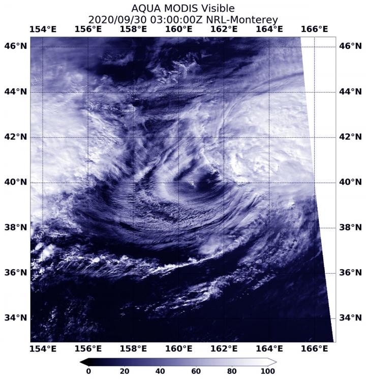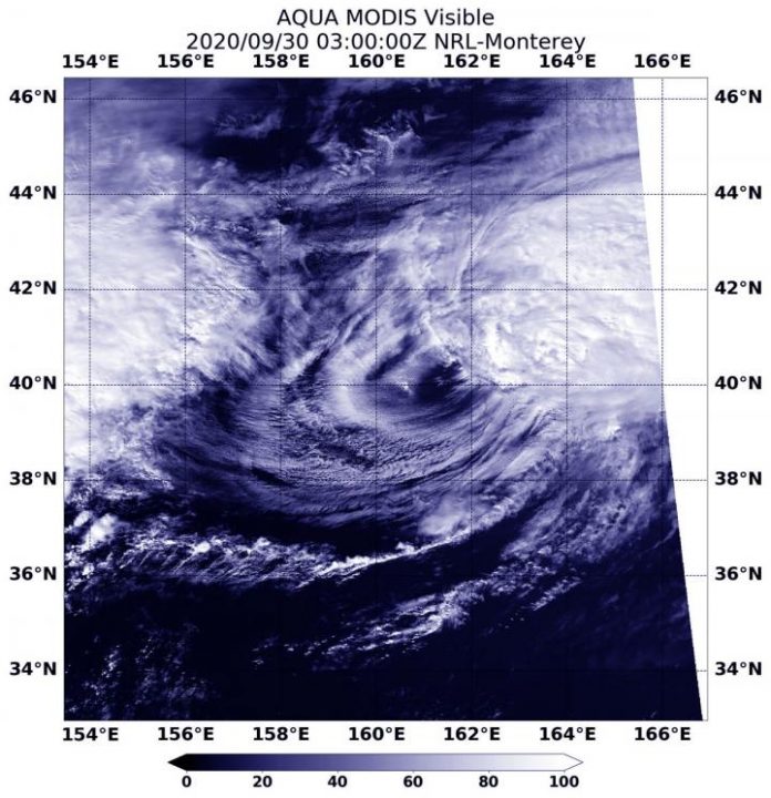
Photo: On Sept. 30 at 0300 UTC (Sept. 29 at 11 p.m. EDT), the MODIS instrument aboard NASA’s Aqua satellite provided a visible image of Kujira that showed the storm had…
view more
Credit Image: Credit Image: NASA/NRL
Tropical cyclones can become post-tropical before they dissipate, meaning they can become sub-tropical, extra-tropical or a remnant low-pressure area. NASA’s Aqua satellite provided a visible image that showed Typhoon Kujira transitioning into an extra-tropical storm, and the effects of strong wind shear on the system.
What is a Post-tropical Storm?
A post-tropical storm is a generic term for a former tropical cyclone that no longer possesses sufficient tropical characteristics to be considered a tropical cyclone. Former tropical cyclones that have become fully extratropical, subtropical, or remnant lows are classes of post-tropical cyclones. They no longer possesses sufficient tropical characteristics to be considered a tropical cyclone. However, post-tropical cyclones can continue carrying heavy rains and high winds.
What is an Extra-tropical Storm?
Often, a tropical cyclone will transform into an extra-tropical cyclone as it recurves toward the poles (north or south, depending on the hemisphere the storm is located in). An extra-tropical cyclone is a storm system that primarily gets its energy from the horizontal temperature contrasts that exist in the atmosphere.
Tropical cyclones have their strongest winds near the earth’s surface, while extra-tropical cyclones have their strongest winds near the tropopause – about 8 miles (12 km) up. Tropical cyclones, in contrast, typically have little to no temperature differences across the storm at the surface and their winds are derived from the release of energy due to cloud/rain formation from the warm moist air of the tropics.
Visible NASA Imagery Shows the Transition
Visible imagery from NASA’s Aqua satellite revealed Kujira’s extra-tropical transition under way as the storm appeared asymmetric due to wind shear.
On Sept. 30 at 0300 UTC (Sept. 29 at 11 p.m. EDT), the Moderate Resolution Imaging Spectroradiometer or MODIS instrument aboard NASA’s Aqua satellite provided a visible image of the storm. Kujira’s center of circulation was surrounded by wispy clouds, while powerful southwesterly vertical wind shear (outside winds that push against a tropical cyclone) had pushed the bulk of clouds and showers northeast of the center.
Kujira’s Final Advisory
At 5 p.m. EDT (2100 UTC) on Sept. 29, the center of Post-Tropical Cyclone Kujira was located near latitude 38.6 degrees north and longitude 159.4 degrees east. That is about 802 nautical miles east of Misawi, Japan. The post-tropical cyclone was moving toward the northeast. As it was transitioning, it weakened from typhoon strength to tropical storm strength. Maximum sustained winds had decreased to near 55 knots (63 mph/102 kph).
In the last bulletin by the Joint Typhoon Warning Center at that time, forecasters noted “Environmental analysis indicates the system has drifted into high vertical wind shear, [greater than 40 knots (46 mph/74 kph) and cold (less than 25 degrees Celsius/77 Fahrenheit) sea surface temperatures] and has entered into the baroclinic zone.” Tropical cyclones need sea surface temperatures of at least 26.6 degrees Celsius/80 degrees Fahrenheit to maintain strength.
A baroclinic zone is a region in which a temperature gradient exists on a constant pressure surface. Baroclinic zones are favored areas for strengthening and weakening systems while barotropic systems, on the other hand, do not exhibit significant changes in intensity. In addition, wind shear is characteristic of a baroclinic zone.
Kujira is expected to complete extratropical transition and weaken to a post-tropical depression by the afternoon of September 30, 2020.
NASA Researches Earth from Space
For more than five decades, NASA has used the vantage point of space to understand and explore our home planet, improve lives and safeguard our future. NASA brings together technology, science, and unique global Earth observations to provide societal benefits and strengthen our nation. Advancing knowledge of our home planet contributes directly to America’s leadership in space and scientific exploration.
###
TDnews (tunisiesoir.com)


